


")
")


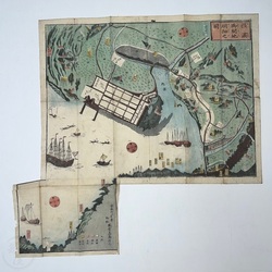


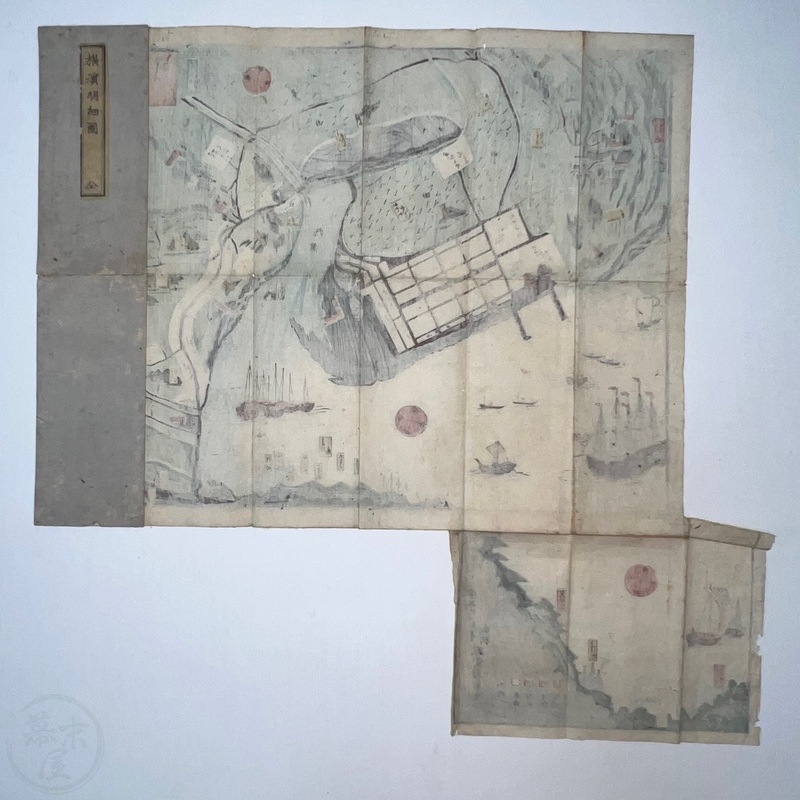
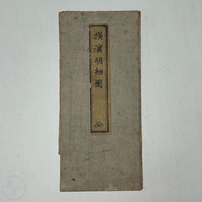
Woodblock Printed Map of Yokohama One of the earliest known Yokohama maps
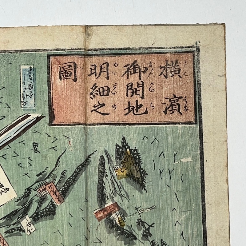
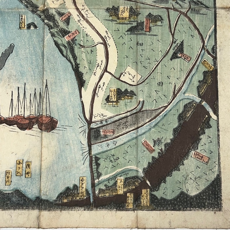
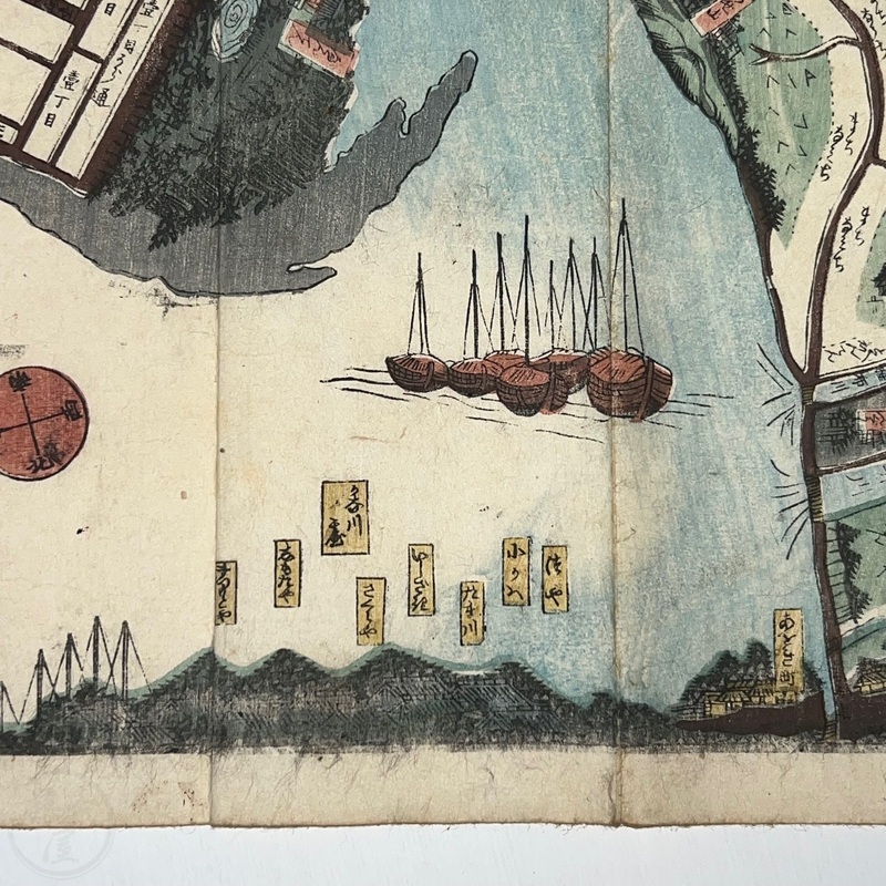
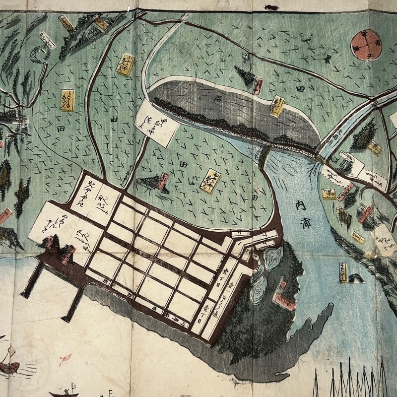
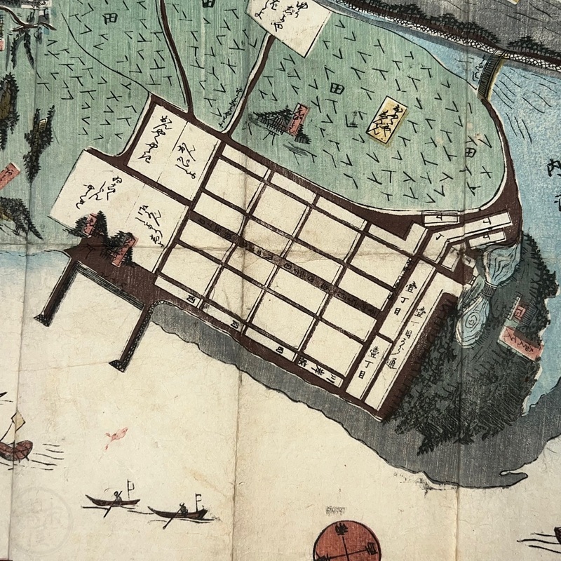
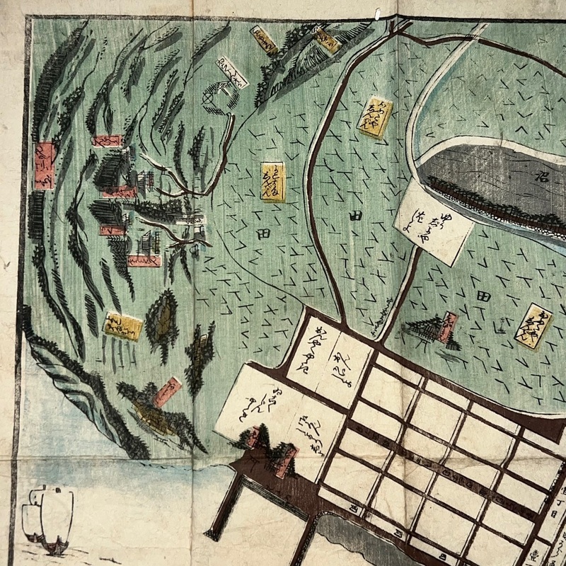
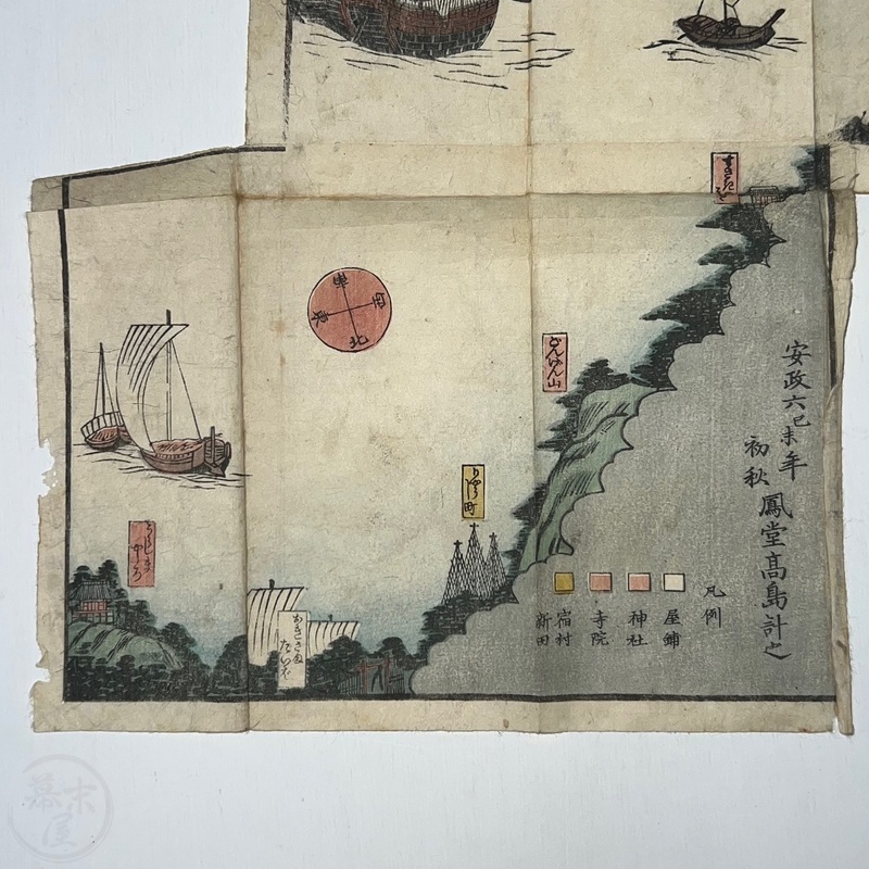
[Japan] Woodblock printed map of Yokohama dated the beginning of autumn 1859 indicating it was made just after the port was officially opened on July 1st, 1859. As can be seen, it was just a small village at the time surrounded by fields. The lower left foldout section of the map is sometimes missing but is important because that is where the map is dated. The Japanese title of the map is, 'Yokohama Onkaichi Meisai no Zu' ['Detailed Map of the Opened Land of Yokohama'].
[No place]. Hodo Takashima Kazuyuki. Ansei 6 (1859).
36.8 x 48.2cm (+smaller folding section at lower left). Folded 8.2 x 18.4cm.
In good condition. Some age wear, marks, and minor creases and a few chips at left edge of foldout. Original boards and title slip. Unbacked with nice bleedthrough. m37061886