


")
")


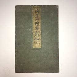

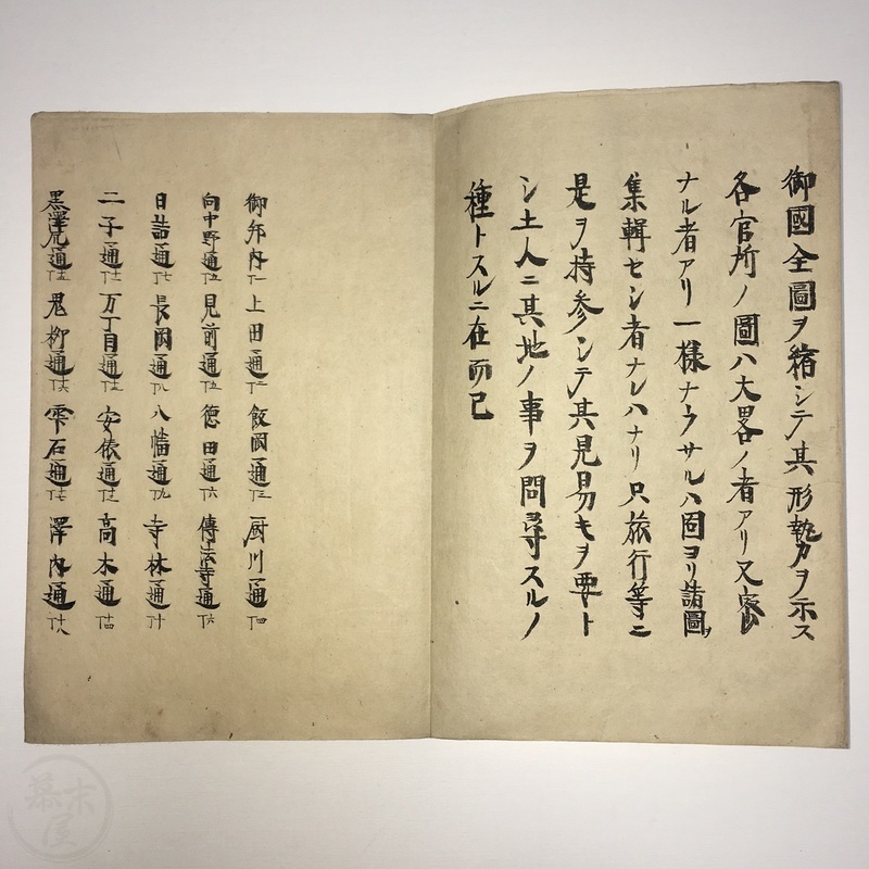
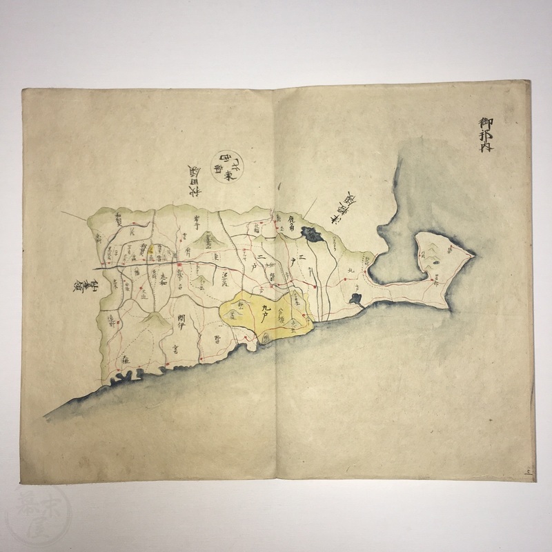
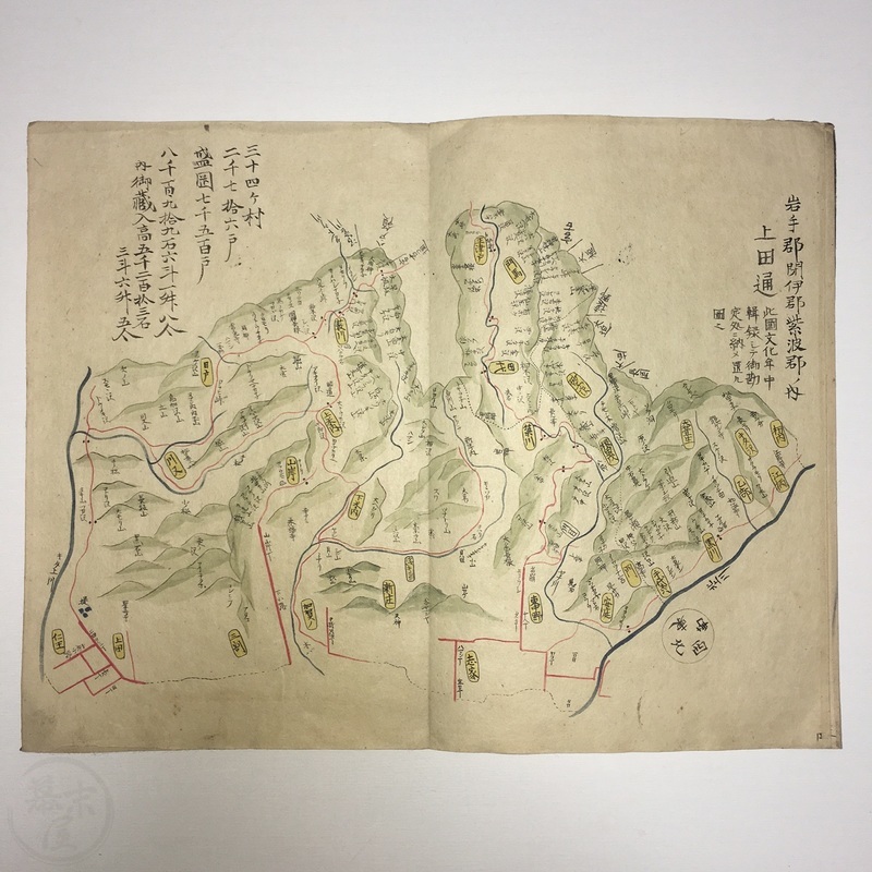
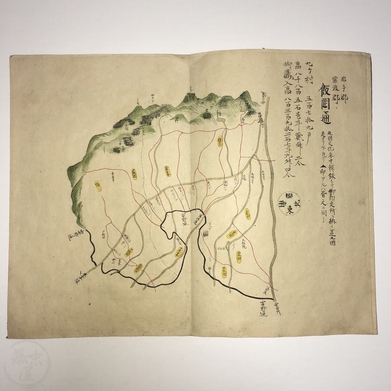
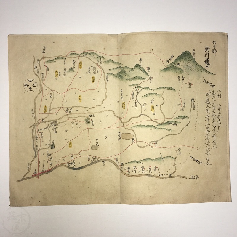
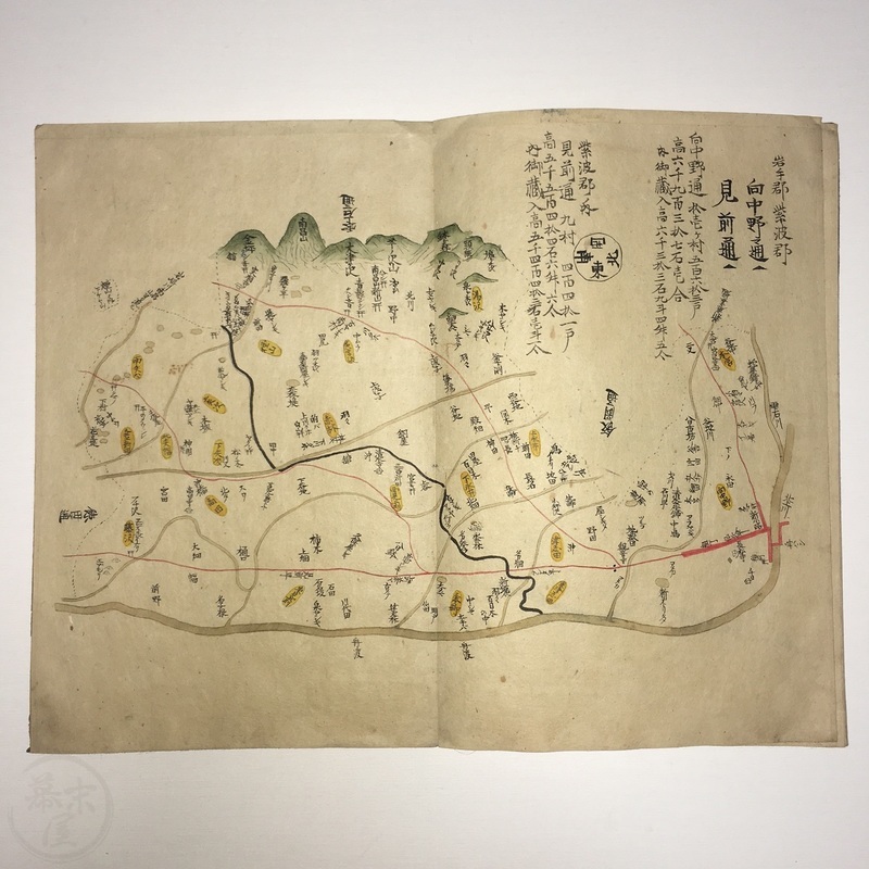
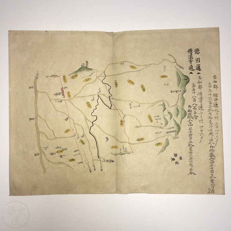
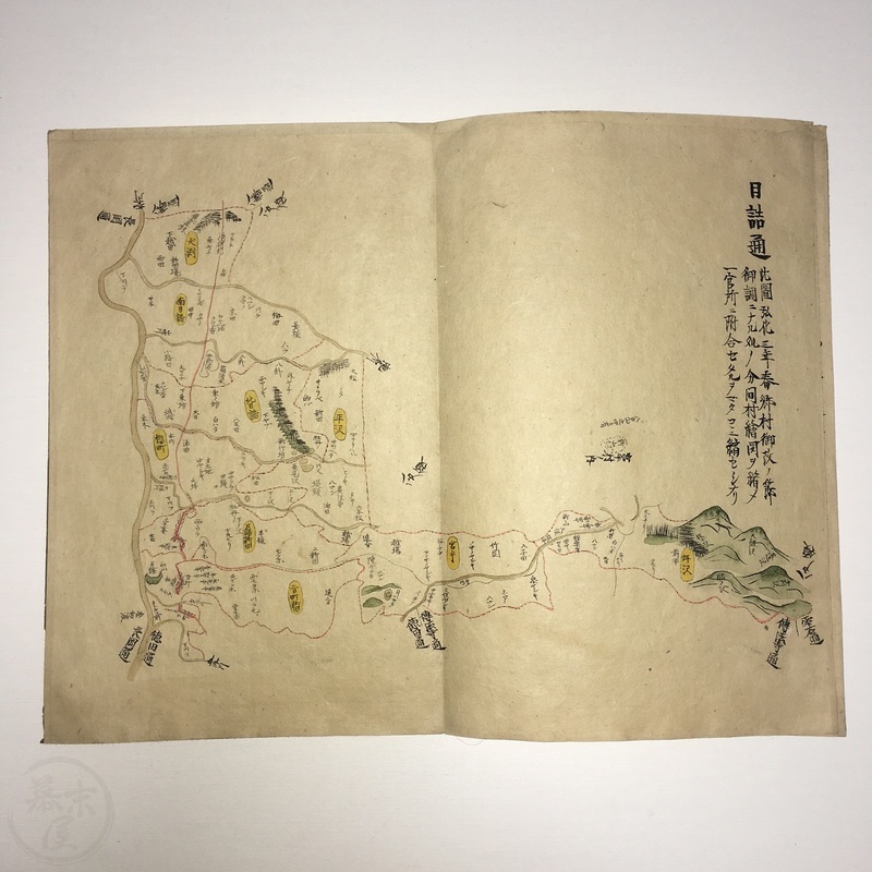
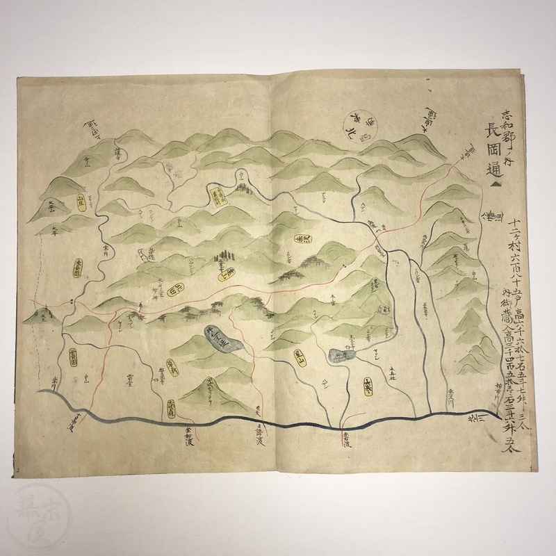
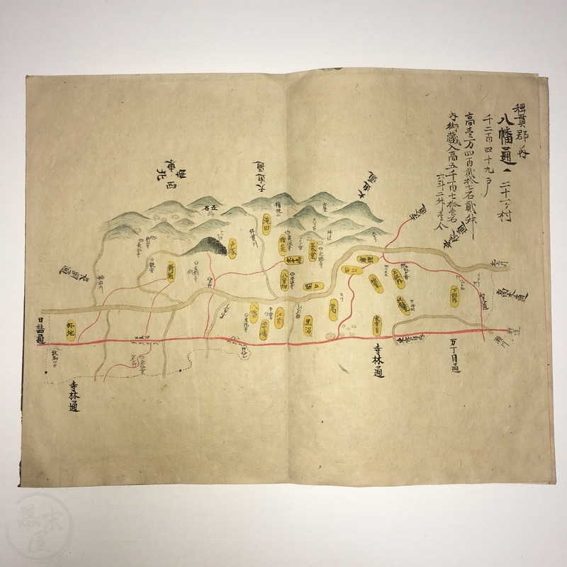
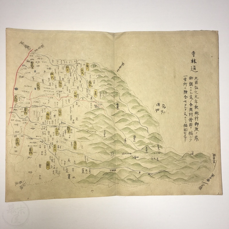
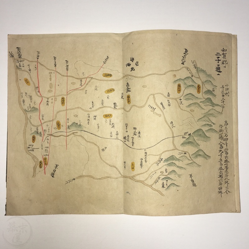
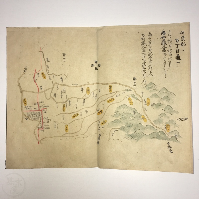
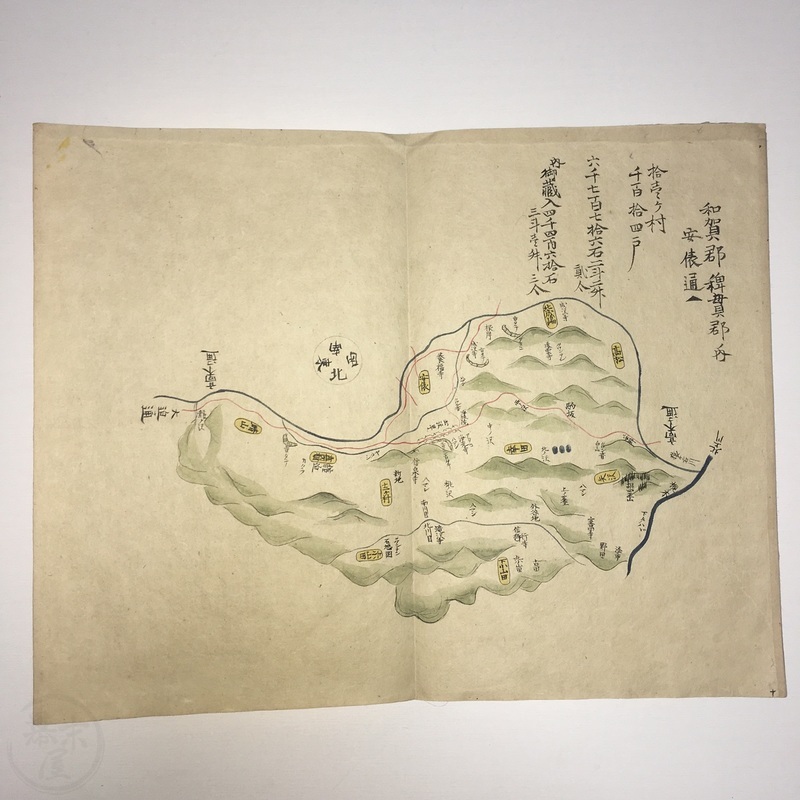

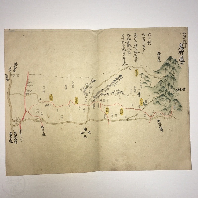
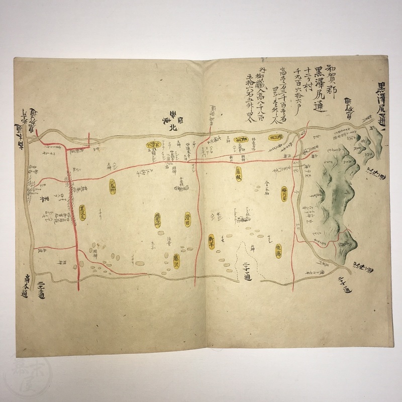
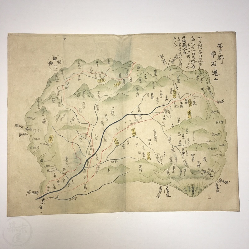

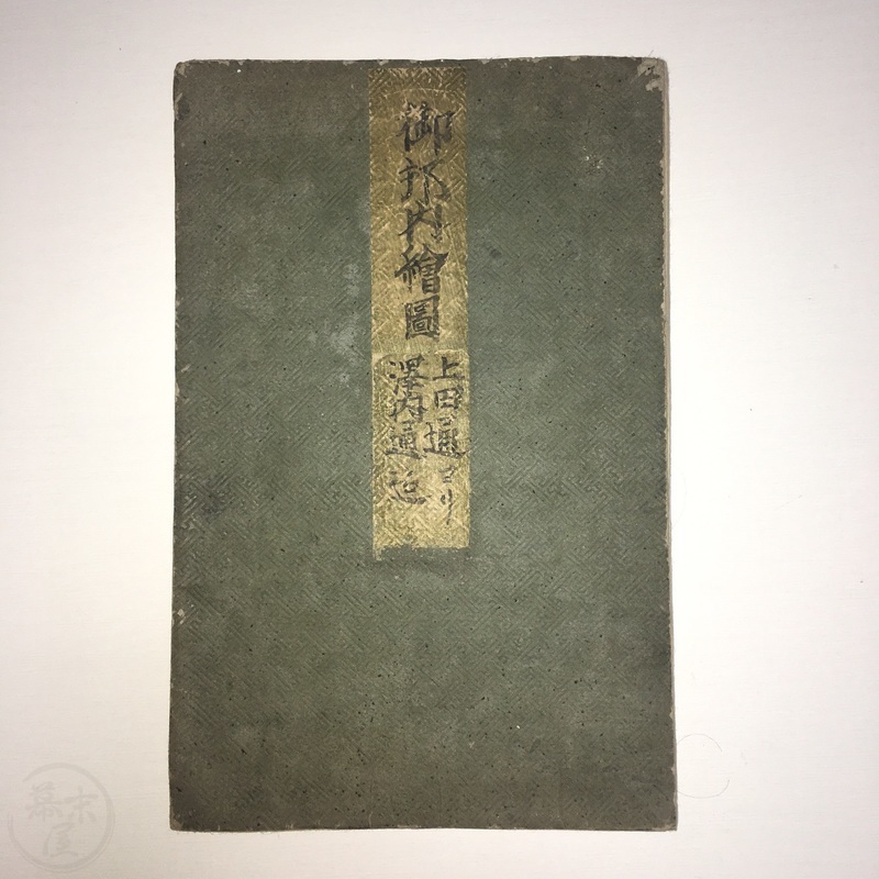
Manuscript Book of Iwate Area Maps with 18 hand-drawn and coloured maps
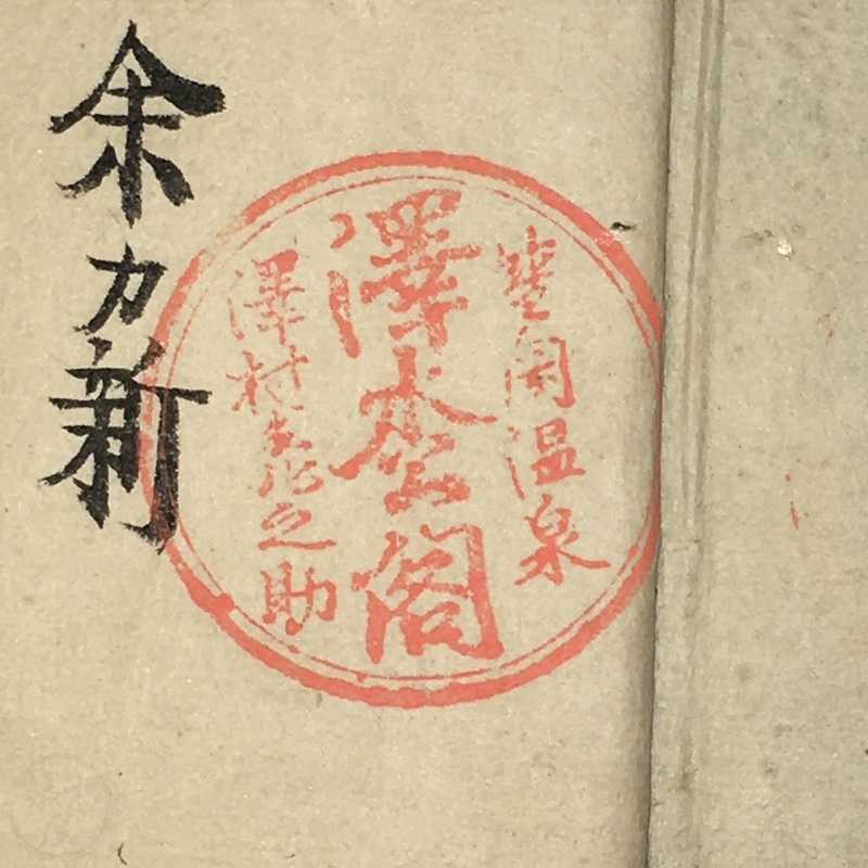
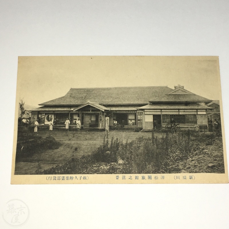
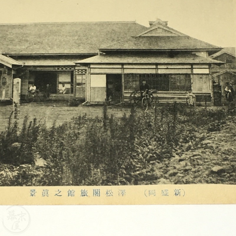
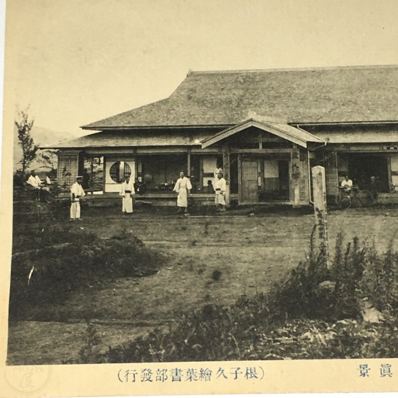
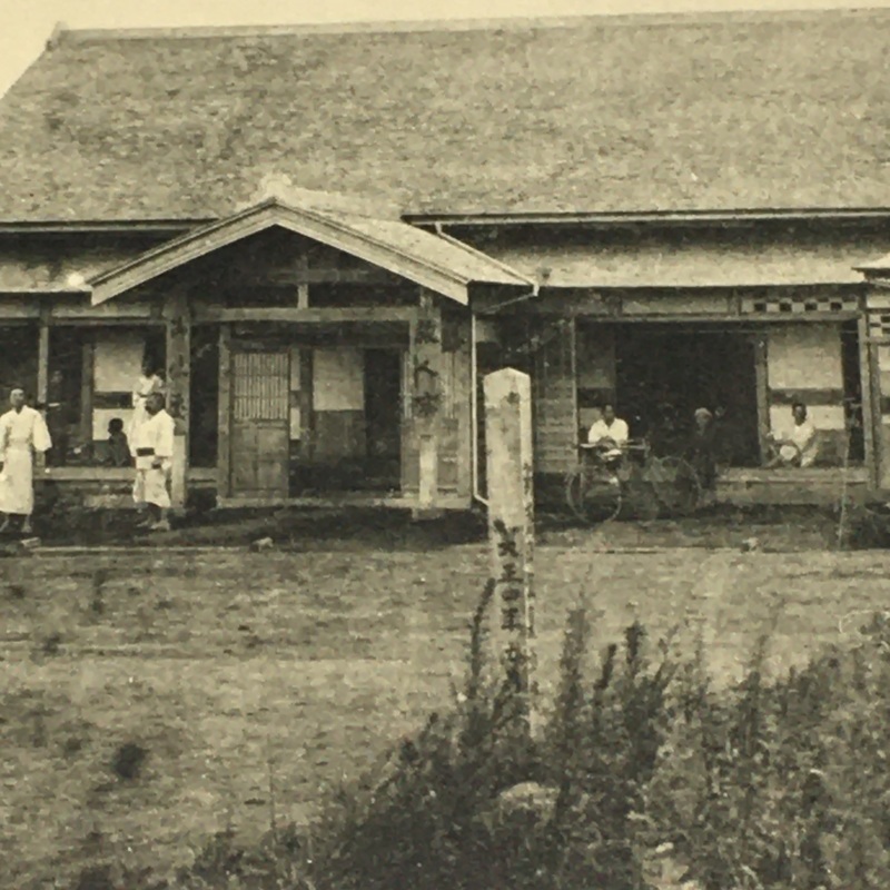
[Japan] Scarce, folding book (orihon) with maps of Iwate prefecture covering the area from Ueda to Sawauchi as well as the 17 towns between including Iioka, Tokuda, Hizume, Nagaoka, Hachiman, Terabayashi, Futago, Takagi, Kurosawa, and Shizukuishi. The manuscript was drawn by Kawamura Hidetomi in 1863 as written inside the front cover. Interestingly the manuscript was owned by the Sawamatsu Kaku Inn (ryokan) in Morioka and may have been used by guests. The inn no longer exists but we found a late Meiji era (c1900) postcard showing the inn which can be seen in the last four pictures here. The postcard is included with the manuscript.
38pp. 28.5 x 18.5cm.
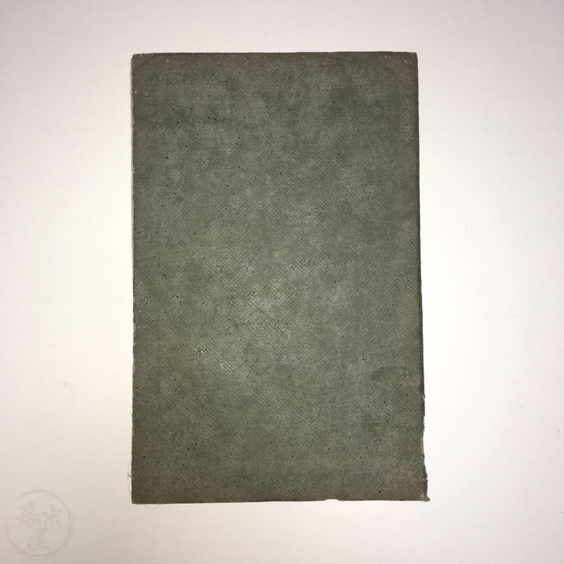
In very good condition. Covers a bit worn. Internally very good with general age wear and a few stray marks. Red seals of the Sawamatsu Kaku Ryokan on the first page and final page. b30110243