


")
")


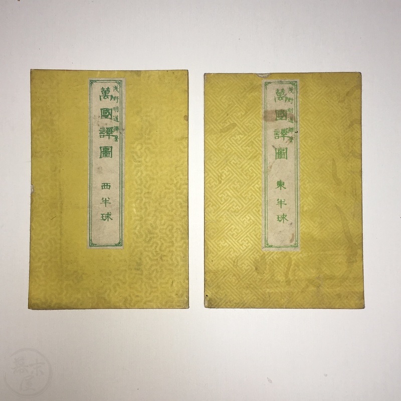
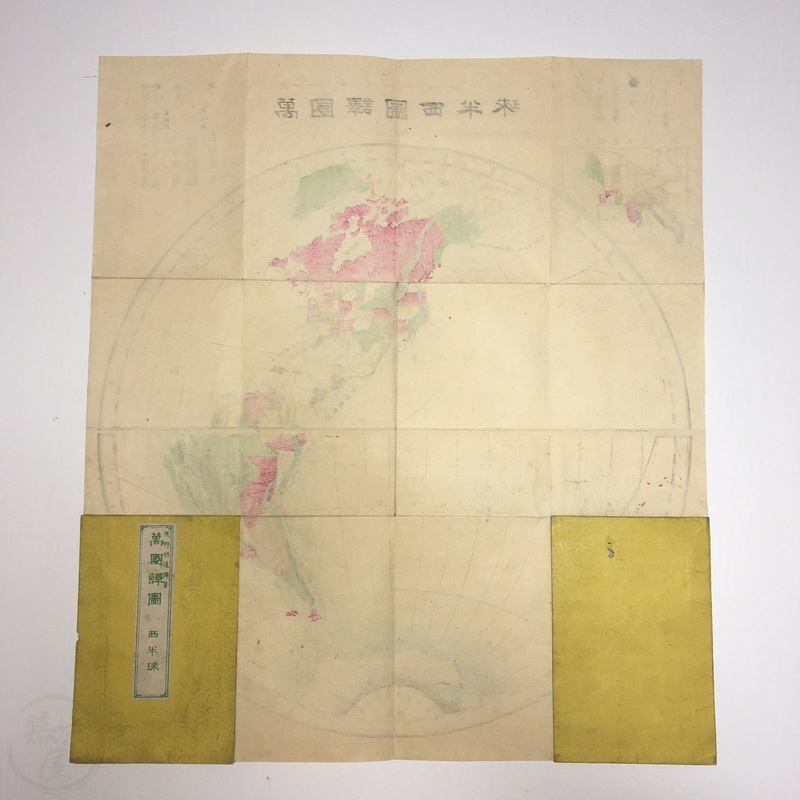
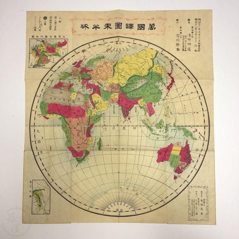
Two Japanese Maps of the Eastern and Western Hemispheres Colour woodblock printed folding maps
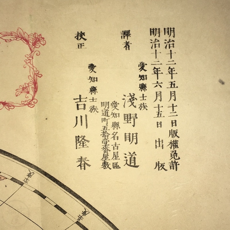
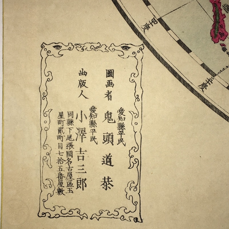
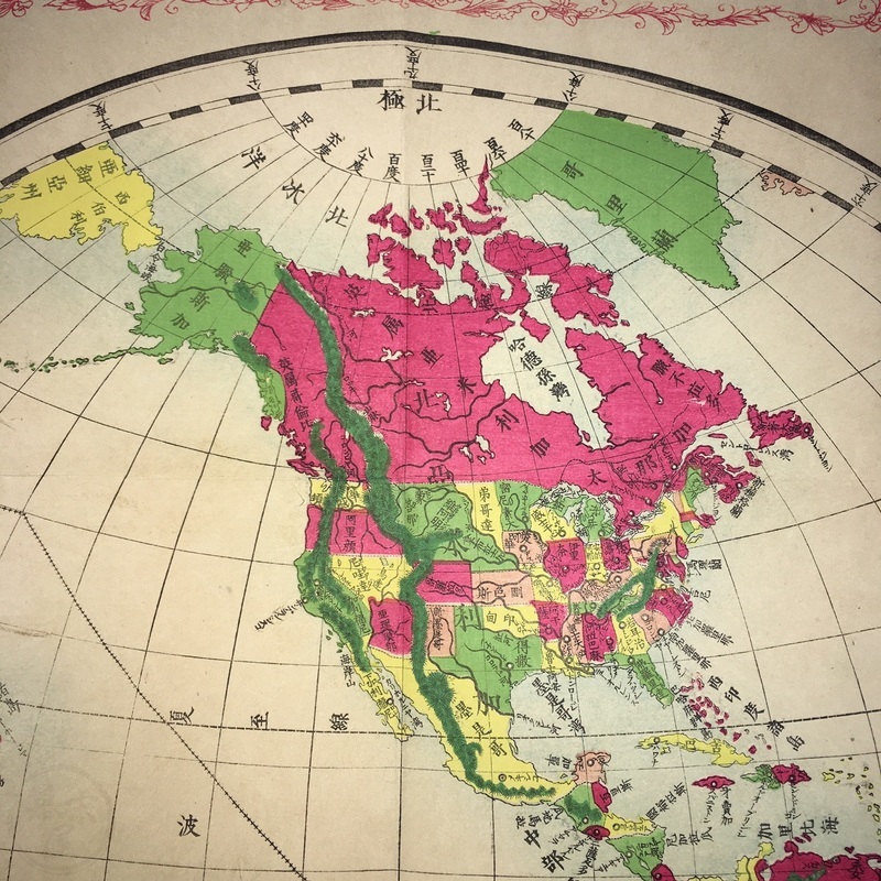
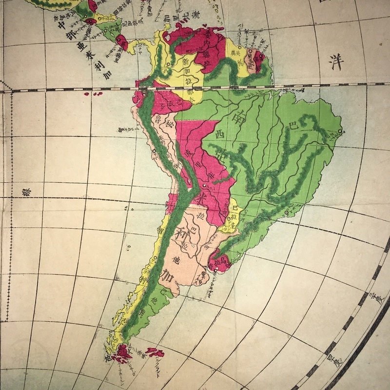
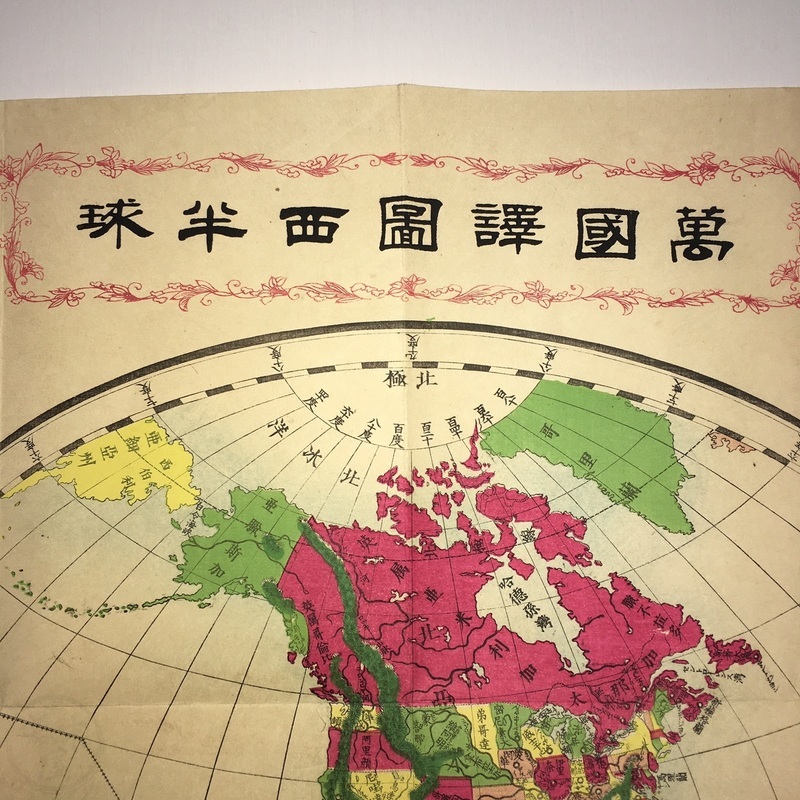
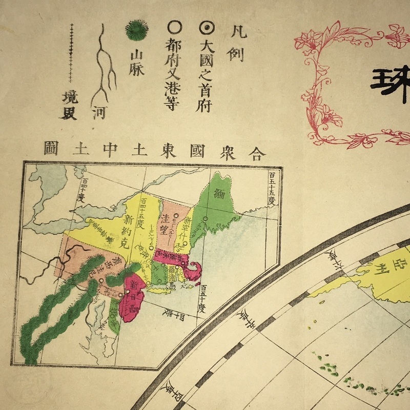
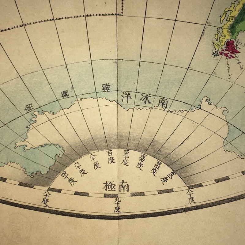
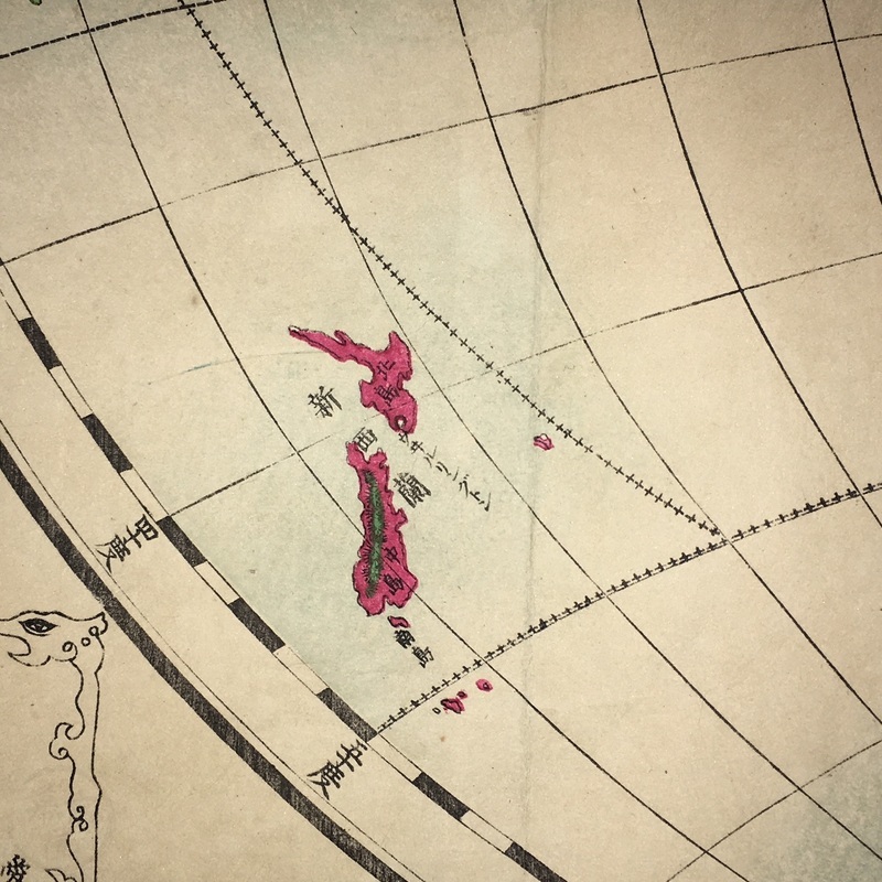
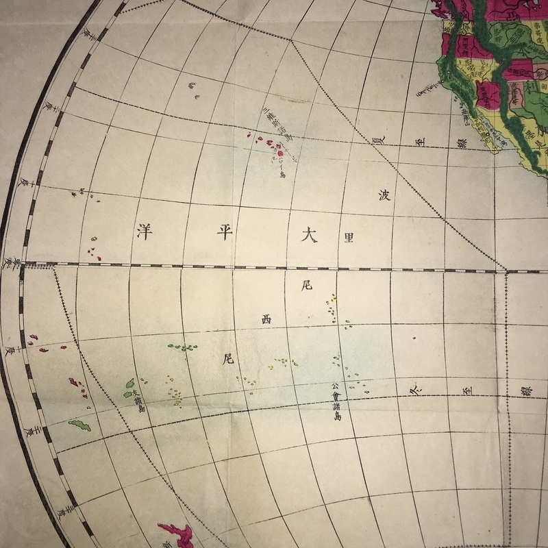
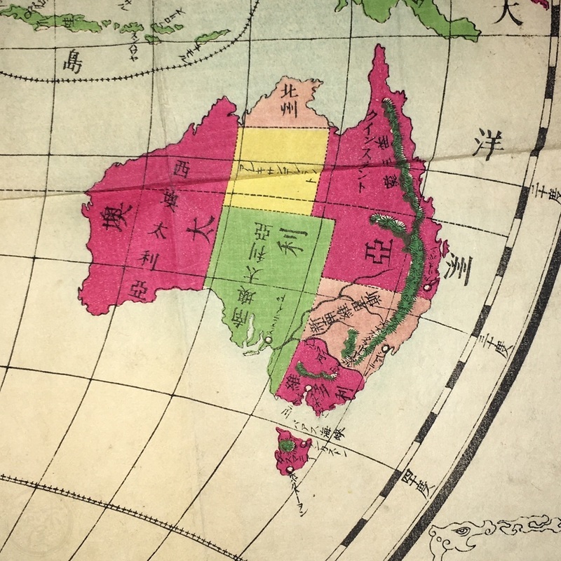
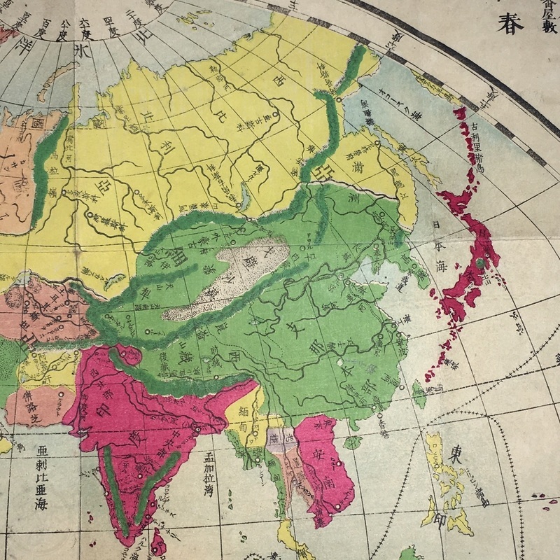
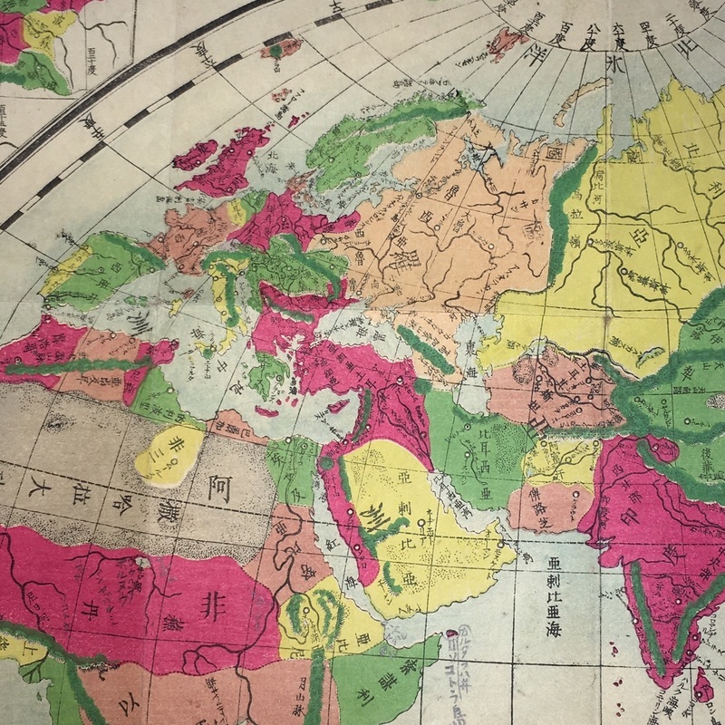
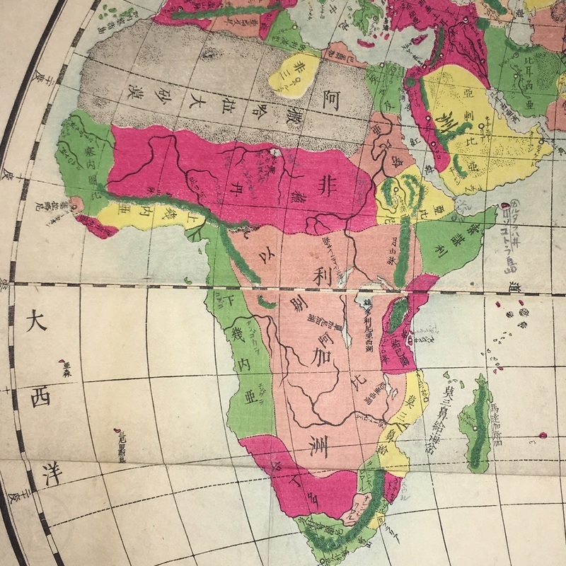
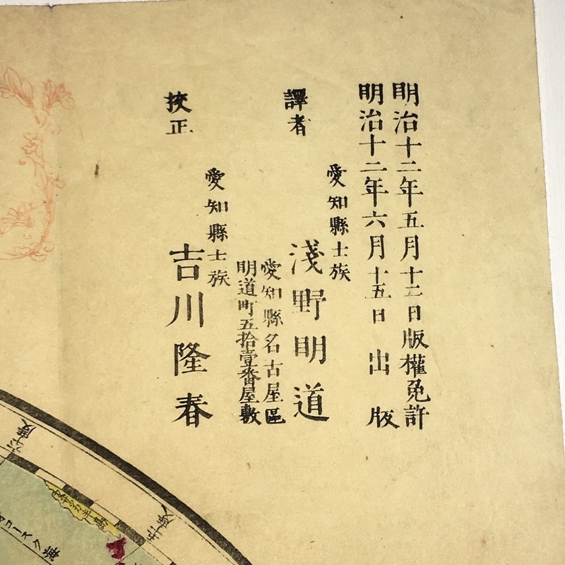
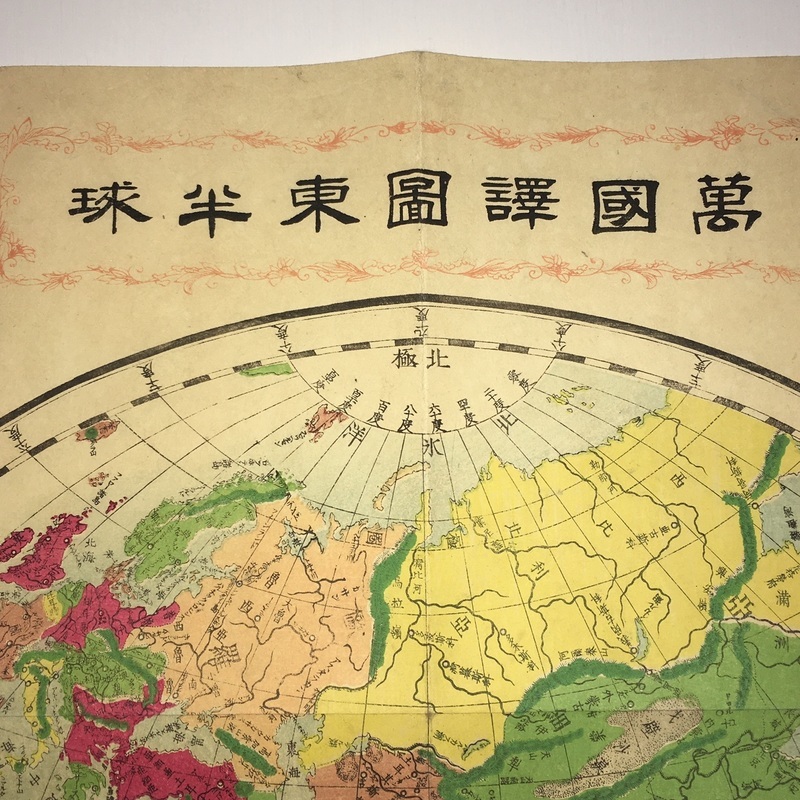
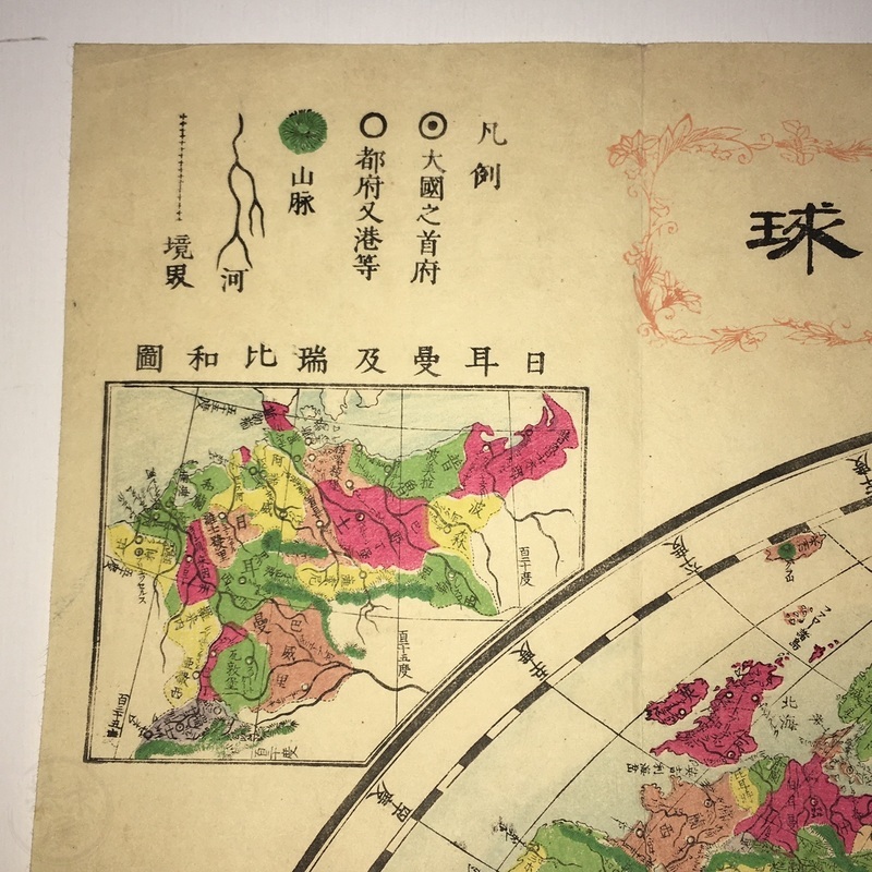
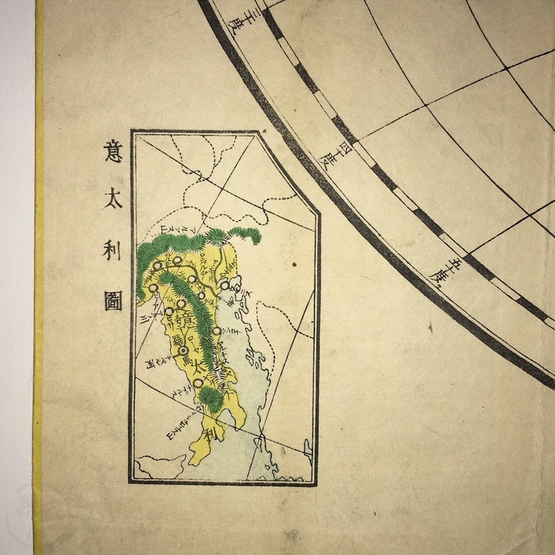
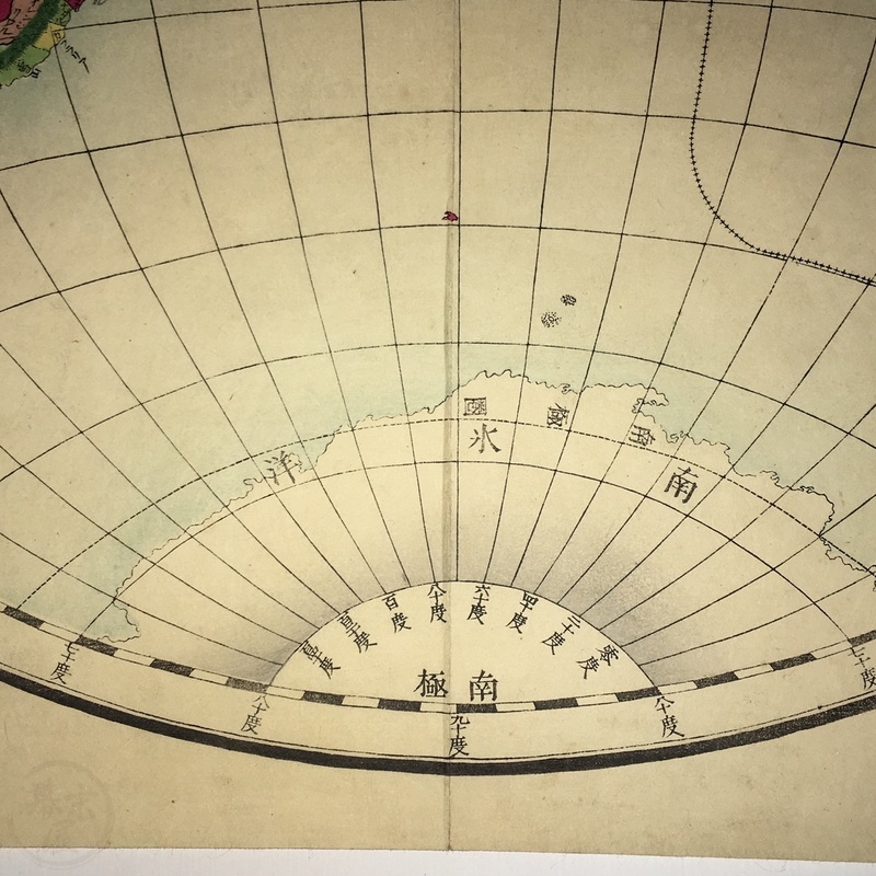
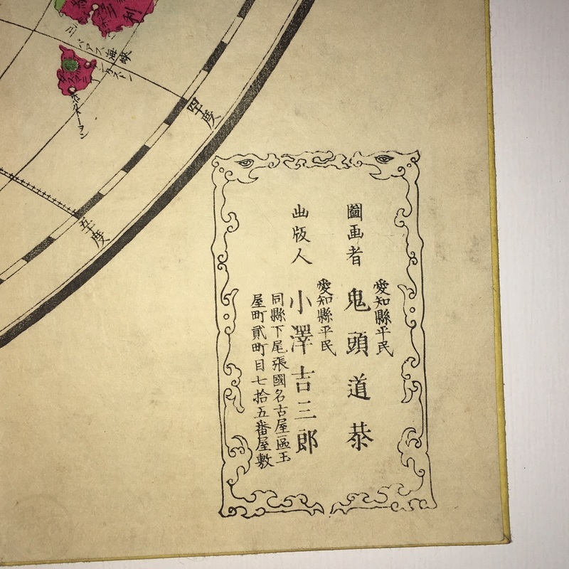
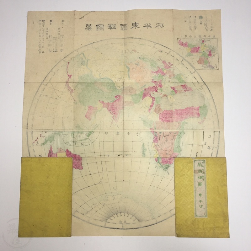
[Japan]. A pair of matching maps showing the western and eastern hemispheres. The map of the western hemisphere showing the Americas and New Zealand has an inset map of New York and the surrounding area. The eastern hemisphere map has insets of part of Europe at the top left and Italy at the lower left. The titles in Japanese are, 'Bankoku Yakuzu - Higashi Hankyu', and 'Bankoku Yakuzu - Nishi Hankyu'. Both maps were drawn by Asano Akimichi and checked by Yoshikawa Takaharu.
Aichi [Nagoya]. Ozawa Kichizaburo. 1879.
each 55.4 x 49.4cm.
In very good condition with only minor wear. Covers a little worn and one has a chip at the top.
m32100712